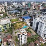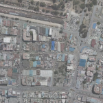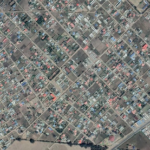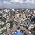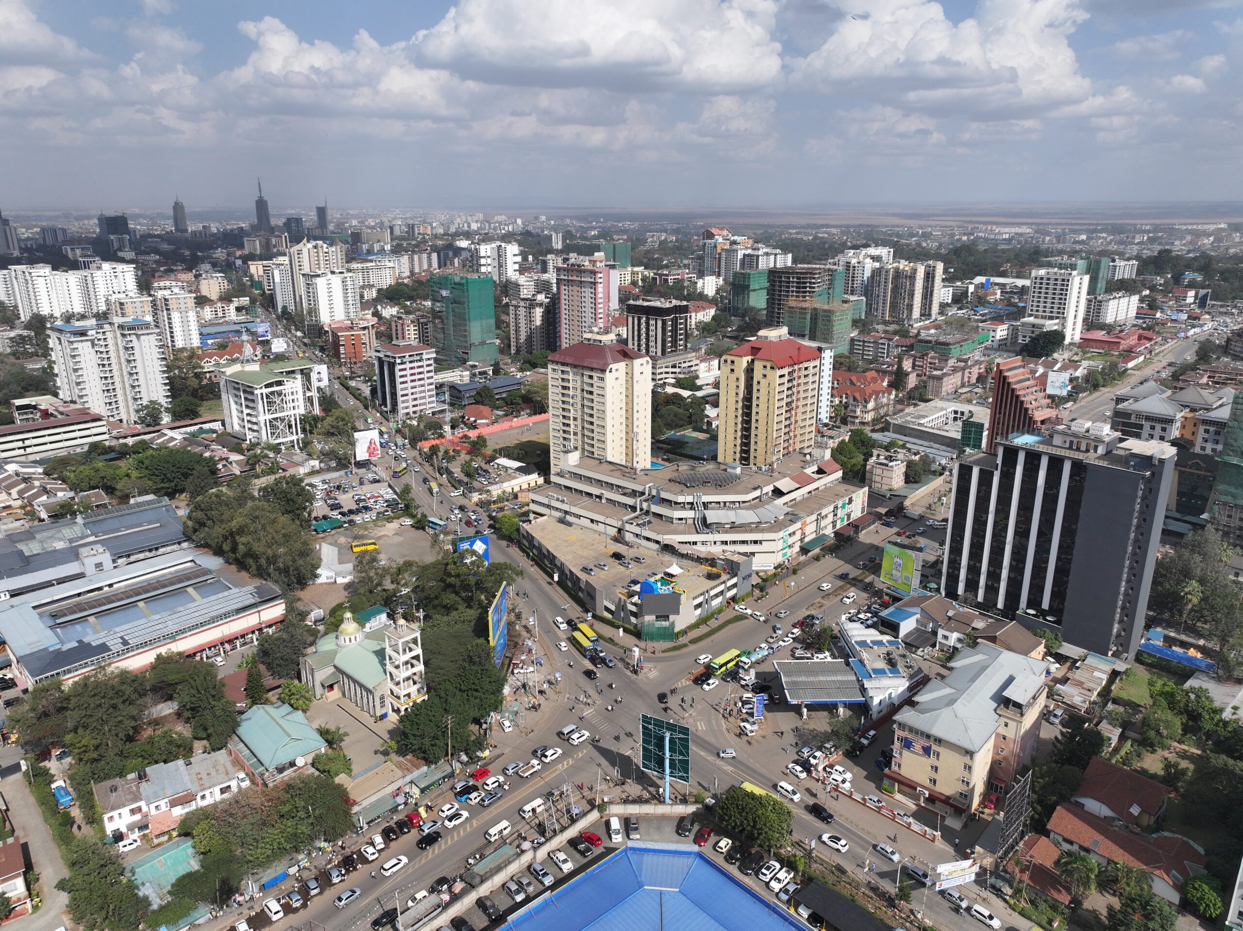
The project entailed the acquisition of aerial photographs and satellite images. The aerial and satellite images were used to create precise maps of geographic areas, including urban, rural, and remote regions. These maps served as the foundation for the Kenya 2019 census enumeration, helping census officials accurately define enumeration areas and boundaries. The following tasks were performed in the undertaking of this project;
Data acquisition;
Data Processing:
Image Enhancement: Color balancing and contrast to improve Image visibility.
User Support and training: Trained the client on image interpretation, analysis, and software to use in processing the data.
2017
Kenya
2019
582,462 KMS
Kenya National Bureau of Statistics
0712151779
office@geodev.co.ke
View the project
View the project
View the project