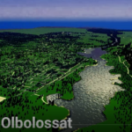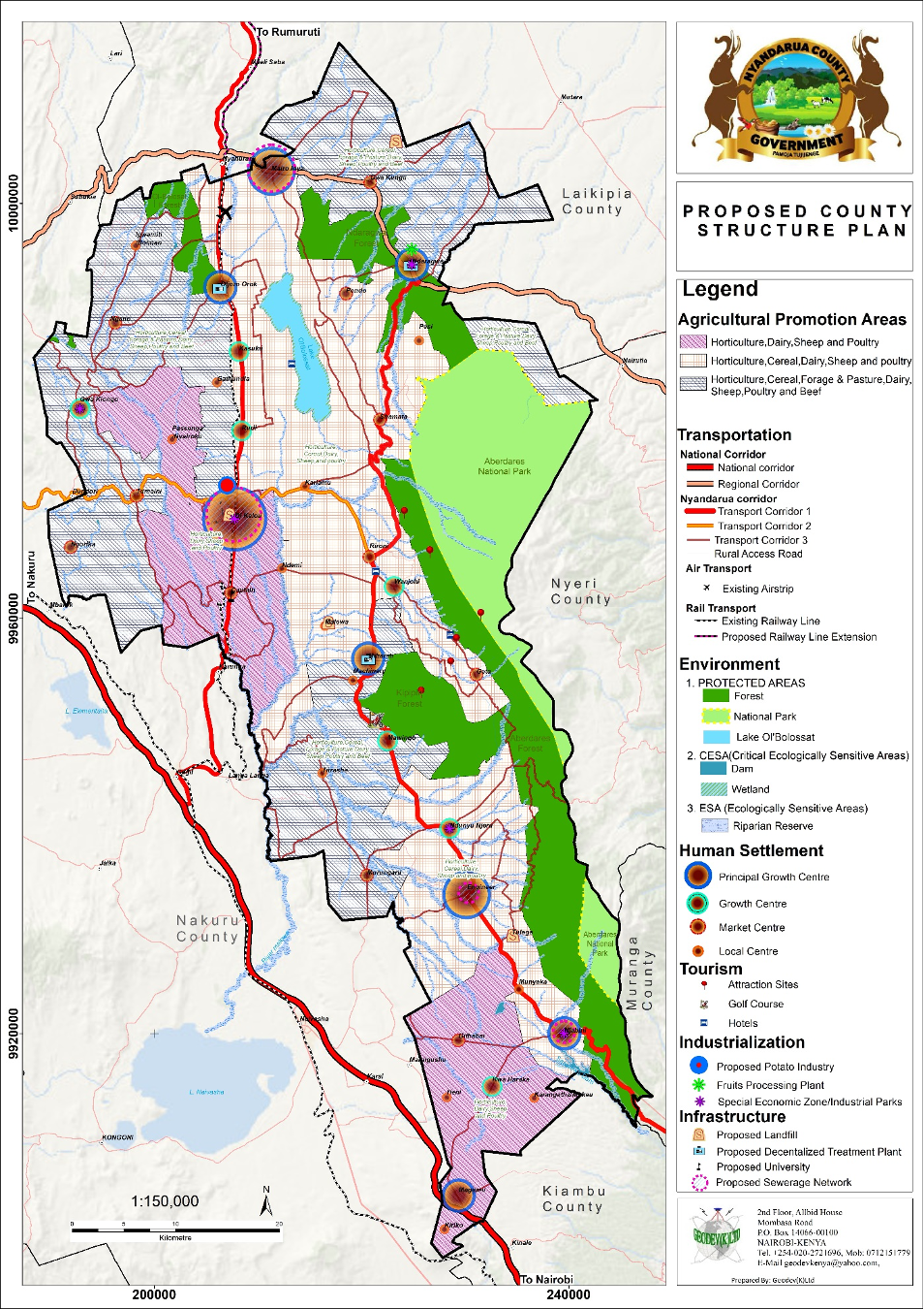
It is a GIS based plan with the end goal of promoting equity through distribution of people and activities across the County. Nyandarua County has enormous resource ranging from favorable climate, vast and fertile agricultural land as well as ecological assets that offer opportunities for recreational and tourism development. Nyandarua CSP aims at harnessing these potentials and optimizing the use of land in order to promote balanced and equitable development of the County. The plan also seeks to spur economic growth by providing strategies for modernizing agriculture, promoting value addition through designating and promoting areas for agro-based industries and utilizing the numerous tourism resources in the County. Examples of tourism resources include Lake Olbollossat, Aderdare Ranges, natural forests, Mau Mau caves and the famous happy valley homes.
The plan also provides the County with a framework for development of appropriate, adequate and quality infrastructure as well as improving connectivity through by integrating various transport modes. There are several benefits that accrue from the development of Nyandarua County Spatial Plan. Sample benefits include, a County with a strong and diverse economy, well balanced system of human settlements and adequate supply of critical infrastructure. The key approaches used in the development of the CSP include participation and consultation in all levels, integration of physical, economic, and social aspects as well as promoting sustainability through meeting current and future needs of Nyandarua County residents.
2017
Central Province-Nyandarua County
2023
3,245.2 km2
View the project
View the project
View the project
View the project