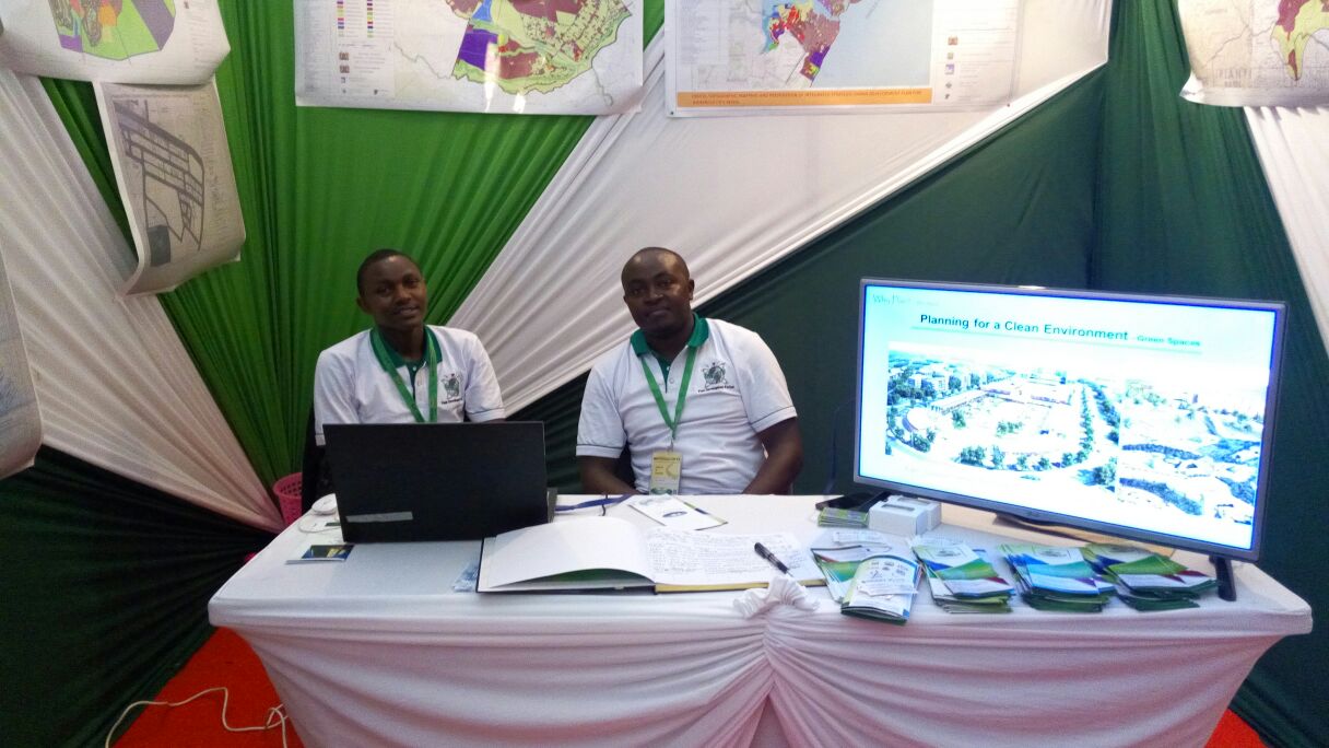
Geodev (K) Ltd provides specialized professional multipurpose maps to our clients. We provide mapping services for our clients looking to collect and systematize location related data. From data capture, acquisition, processing, analysis, final output and management the department is able to provide competitive and comprehensive GIS & mapping services in the market at present. The services offered include:
- GIS Mapping
- Geodatabase Creation and Management
- Web Mapping
- Aerial Photography
- Sattelite Image Processing
- LiDAR
- Remote Sensing

