Positioning
Over a period of time, we have been offering distinctive services in cadastral and engineering surveys while employing current technologies in delivering our services.
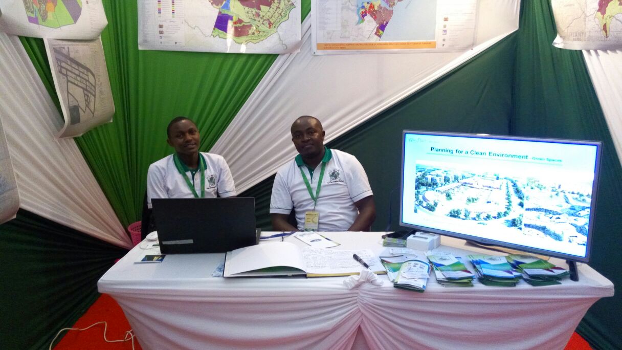
Physical Planning
Physical planning provides guidelines by which urban and rural development initiatives must adhere to for sustainable future urbanization. Geodev has been actively involved in the formulation of these guidelines in quite a good number of counties in Kenya.
GIS and Mapping
Geospatial technology provides a tool for managing spatial data. Our experienced GIS team provides intensive support to other departments in mapping and organizing spatial data.
Aerial Photography
We use advanced aerial imaging systems to capture Aerial images within the area of interest. Our imagery team ensures images delivered to clients are of good quality. ln addition, we offer satellite Images to our clients.
Resettlement Action Plan (RAP)
Projects, as well as natural causes, impact the settlement of citizens and hence the need for RAP. We, Geodev, prepare RAP document to guide in the acquisition, compensation, and resettlement of affected people.
Environmental and Social Impact Assessment and Audit
Our Environment team has undertaken ESIA and EIA projects that have been used to foresee the economic aspect of projects and the project's impact on the people and the environment.