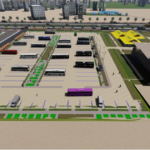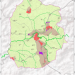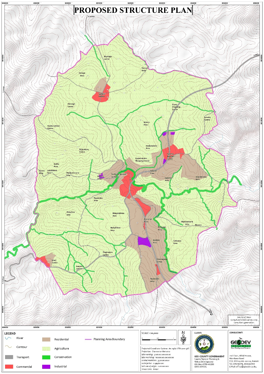
The project was conceived in the year 2014 and was completed in 2021. The goal of the project was to prepare an Integrated Strategic Urban Development Plan for Ogembo Town to guide development of the town and its environs for a period of 20 years.
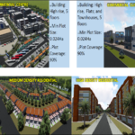
More specifically, the project objectives were: to define a long-term vision for the town; to form a basis for future local development planning; to promote optimal use of land by providing a land use framework; to enhance economic competitiveness of the town by providing conducive pre-conditions for investment; to ensure a safe, convenient transportation system that integrates with the various activity areas; and to boost provision of quality housing in Ogembo Town. Others were to provide a framework for provision of physical and social infrastructure; To provide a framework for coordination and implementation of projects and programmes; and to enhance participatory governance of the town.
Key benefits anticipated to accrue from implementation of the plan include the optimal use of land and other resources, enhanced economic development, environmental protection and conservation, improved access to infrastructure and services & good governance.
The project was inspired by among others, the principles of public participation, benchmarking, consultation and consensus building, sectorial engagement and evidence-based decision making.
2015
Ogembo Town
2030
39.4 km2
2015
Kisii County
2030
39.4 km
Kisii County Government
0712151779
office@geodev.co.ke
View the project
View the project
View the project