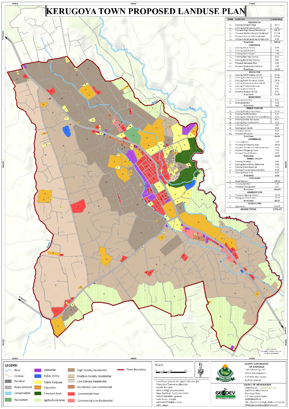
This project was conceived in November, 2019. The project is currently ongoing and is projected to be approved in September, 2023 by the county assembly of Kirinyaga.
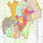
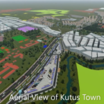
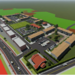
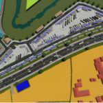
The plan is intended to ensure optimization in the use of land and land-based resources, integrate land uses and activity areas and create a basis for provision of appropriate infrastructure. Conversely, the plan will spur the local economy through the optimization of available opportunities and promote good governance and leadership. The plan aims at protecting and conserving the natural environment and creating a basis for better land use management in order to improve and control development.
The plan will be a basis for ensuring conformity to zoning standards, spurring urban renewal and redevelopment. It will guide and coordinate the provision, development and maintenance of infrastructure and be a basis for coordinating various sectoral agencies in achieving its vision. The plan will be a key tool for regulating the use of land and any development occurring on it through provision of guidelines on building and works.
The plan was based on the principles and concepts of conservation especially to the natural environment (rivers, springs and wetlands), redevelopment of areas undergoing urban decay or informality and improving urban aesthetics through design. Additionally, the plan is anchored on sustainability and land use compatibility.
2019
Kirinyaga County
2023
71.55 km2,
County Government of Kirinyanga
0712151779
office@geodev.co.ke
View the project
View the project
View the project
View the project