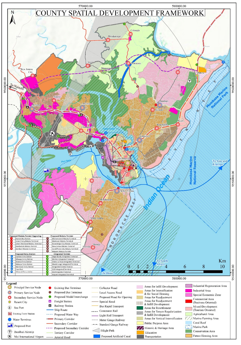
Geodev (K) Limited was competitively awarded the contract to prepare Mombasa County Spatial Plan in 2021 with planned completion in 2023. This GIS based county-wide plan which is the spatial development framework of the county with the goal of coordinating physical and land use development and planning of infrastructure, services, resource utilization and environmental conservation and management. Furthermore, the plan makes reservations for public security while guiding the actions towards the achievement and maintenance of a tree cover of at least ten percent of the land area of Kenya.
The Mombasa Spatial Plan shell be used to guide investment in industries, housing, urban agricultures and utility infrastructure. Geodev (K) Limited advanced its expertise in optimizing the use of land through the plan by mainstreaming intensification and densification of use of industrial and residential development areas, promoting smart urban growth through selective concentration and deconcentrating in urban and rural parts of the county respectively. Further, the plan advances subsidiarity in guiding distribution of basic services and access to infrastructure in the whole of Mombasa County.
2020
Mombasa County
2023
294.7 km2,
County Government of Mombasa
0712151779
office@geodev.co.ke
View the project
View the project
View the project
View the project