The project was initiated on the 28th of August in the year 2017, with a scheduled completion date of the 31st of October in the year 2019. The primary objectives of the project encompassed the preparation of setting apart plans, reservation of land for Kenya Railways, preparation and approval of physical development plans for areas where the SGR corridor reserve falls, processing of change of user, amalgamation, and subdivision of acquired parcels where applicable. The project facilitated the design of the SGR reserve and enabled the easy identification of the beneficiaries of the affected parcels.
Scope of the project
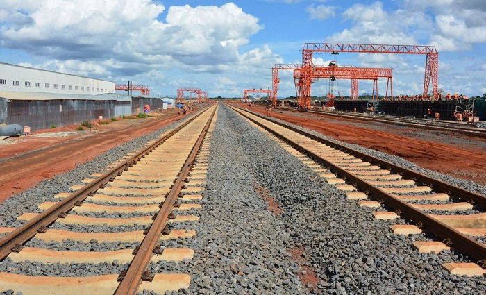
The project entailed the acquisition of data, conducting cadastral surveys, and processing the same with the aim of obtaining title deeds for an estimated land area of 4,145.851 hectares.
Location of the project
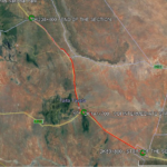
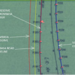
The project was located within Kwale and Taita Taveta counties. The section was starting at DK89/800 a few meters from KWS Bachumba gate entrance and ending at DK238/400 few meters before Mtito-Andei Station.
Client
National Government (Kenya Railways Corporation)
2017
Kwale & Taita County
2019
4,145.851 hectares
Kenya Railways Coorperation
0712151779
office@geodev.co.ke
View the project
View the project
View the project