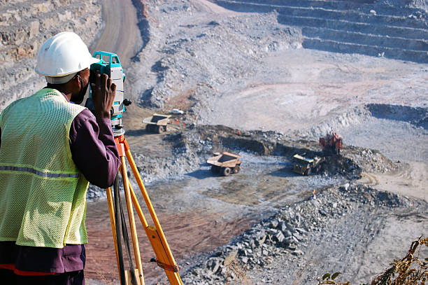
This field pertains to the determination of three-dimensional positions of points on the Earth’s surface. These coordinates are subsequently utilized to generate maps and demarcate boundaries for various purposes, including ownership delineation, pinpointing locations such as building corners, and determining the surface positions of subsurface features. Additionally, these surveys serve other functions mandated by government or civil law, such as property transactions.
Geodev Kenya Ltd stands as a pioneer in providing comprehensive Land Survey solutions and has actively participated in the following undertakings within this domain:
Title/Cadastral Survey: This encompasses both Fixed Boundary Surveys and General Boundary Surveys.
Establishment of survey controls employing Differential GPS methods.
Hydrological Surveys.
Topographic Surveys.
Land Acquisition Surveys for infrastructure facilities.
Subterranean Surveys.
These endeavors underscore our commitment to precision and excellence in the realm of Land Surveying.